
Vicentina Route in Portugal the best walking trails in Europe complete guide
This is the first time a Western European rail has been awarded Leading Quality Trails - Best of Europe certification.
The Vincentina Route Historic Route has been voted one of the best trails in Europe by the prestigious European Ramblers Association (ERA). This is the first time a Western European rail has been awarded Leading Quality Trails - Best of Europe certification.The Vicentina Route is a network of footpaths in southwest Portugal along the most beautiful and best preserved coastline in southern Europe. Combining the Historic Trail and the Fishermans Trail and covering 230 km (143 miles) in 12 stages, our complete Rota Vicentina hiking vacation in Portugal provides the best Rota Vicentina hiking experience.
Itinerary for Rota Vicentina Complete
Day 1: Arrival - Santiago do Cacém
Arriving at Santiago do Cacém, a medieval city located in the interior of the Alentejo coast, it is worth exploring. After check-in, our local representative will have a brief briefing to clarify everything related to the tour. All trails are fully marked, being part of the Historical Route of the Vincentian Route and the Fishermans Trail.- Overnight in Santiago do Cacém
Day 2: Santiago do Cacém - Dry Valley
Time to start your adventure. Following the Alentejo shoreline, this inland path will follow woodlands and montados (cork oaks). There is also the possibility to see some endemic species of birds that use the areas mounted to hit their nests.- Walking the day: 20 km, 6h ↑ 360m ↓ 430m
- Overnight in Vale Seco
Day 3: Dry Valley - Cercal do Alentejo
The third day brings a strong rural flavor to the tour, passing many farms and cultivated fields, a good opportunity to see a different lifestyle. V there walk through forests, open fields and olive groves, past small lakes and water reservoirs. Before reaching Cercal, the path leads around the beautiful lake of Campilhas , a nice place to cool off and take a quick dip on the hottest days.- Walking for the day: 19 km, 6h ↑ 160m ↓ 200m
- Overnight in Cercal do Alentejo
Day 4: Cercal do Alentejo - Porto Côvo
- Walking for the day: 19 km, 6h ↑ 160m ↓ 200m
- Overnight in Porto Côvo
Day 5: Porto Côvo - Vila Nova de Milfontes
In the morning you will have a 25 minute transfer to Porto Côvo (early), there you can stock up on supplies for the day, since during the day you will not be able to get either. This is a moderate to strenuous walk through several areas with loose sand, you will notice that this is an unexplored area where you can have some amazing views. If you are not an experienced hiker, there are two shorter alternative hikes available - 14 km and 8 km.- Walking during the day: 20 km, 6h ↑ 160m ↓ 150m (or 14 km / 8 km alternative tours)
- Overnight in Vila Nova de Milfontes
Day 6: Milfontes - Almogarve / Longuerira
You have two options for todays hike: a) take the small ferry to cross the river first and then start walking, or b) cross the river by foot across the bridge, following the path from the start. Both options will lead to a peaceful day of hiking through the countryside and passing small cliffs, with access to several beaches towards Almograve, further south. Almograve is a good place to have lunch and enjoy the local cuisine. After lunch, its time to explore Almograve beach, or finish the route by going to the inland village of Longueira (35 minutes walk).- Walking the day: 17 km, 5h ↑ 90m ↓ 115m (full walk)
- Overnight at Longueira
Day 7: Almograve - Zambujeira do Mar
Leaving the Almograve behind you will again be exploring the landscapes along the untouched Alentejo coast. Pass the Zambujeira fishing port (Barca Inlet), then walk alongside the cliffs that offer panoramic sea views where you can watch the storks. You can stop in the little village of Cavaleiro, buy some supplies and enjoy a good home-cooked dish before heading west to make the beautiful lighthouse of Cape Sardon. Your walk ends at Zambujeira do Mar, with one of the most amazing beaches in Portugal.- Walking during the day: 21 km, 6h ↑ 200m ↓ 200m
- Overnight at Zambujeira do Mar
Day 8: Zambujeira - Odeceixe
- Walking for the day: 18 km, 6h ↑ 260m ↓ 280m
- Overnight in Odeceixe
Day 9: Odeceixe - Aljezur
From Odeceixe you continue walking south, near the coast, past the small agricultural village of Rogil, where you can try the famous sweet potato. After that, you will keep going south until you reach the village of Aljezur.- Walking for the day: 22 km, 6h ↑ 400m ↓ 400m
- Overnight in Aljezur
Day 10: Aljezur - Arrifana Beach
Today you will follow the Fihermen Trail and explore the path to Arrifana Beach with amazing ocean views. Wonderful place to spend some time enjoying the beach.- Walking during the day: 18 km, 5-6h ↑ 600m ↓ 600m
- Overnight in Arrifana
Day 11: Arrifana Beach - Carrapateira
Leaving Arrifana, you will walk south in the company of sea and mountain, a beautiful walk enjoying the hills, dunes and flat sandy beaches of the cliff tops. A very primitive and untouched part of the route, which will offer a great diversity of species along the way. A garden blooming in spring, with startling butterfly colors and all different flowers, and beautiful leaves in the fall, providing walkers with black berries and wild strawberries.- Walking for the day: 23 km, 6h ↑ 400m ↓ 500m
- Overnight at Carrapateira
Day 12: Carrapateira - Vila do Bispo
This day brings again beautiful colors, hills that meet the sea, beautiful meadows at the bottom of the valley, small rivers that flow into the ocean and temporary lagoons, extremely important for local biodiversity. There will be opportunities to observe some unique bird species, especially when approaching Vila do Bispo.- Walking for the day: 21 km, 6h ↑ 300m ↓ 200m
- Overnight in Vila do Bispo
Day 13: Vila do Bispo - Cape St. Vincent
The last leg of your hiking adventure will take you to the most southwestern point of continental Europe. Also a destination for many pilgrims following in the footsteps of St. Vincent. This is a good bird watching area, so pay attention and keep your binoculars ready.- Walking the day: 19 km, 5h ↑ 210m ↓ 280m
- Overnight in Sagres
Climate
The region is benefiting from the Mediterranean climate that brings long, hot and dry summers and very mild winters. The region gets more sunshine every year than California.Spring
The spring season is warm, with average temperatures between 20 ° C and 21 ° C throughout the season. A quieter time of year, area visitors dont have to worry much about the rain, but there are occasional showers. In late spring, the weather is more like summer, with temperatures rising rapidly. The days grow longer during spring, with an average of eight hours of sunshine a day at the beginning of the season, increasing to about 10 hours in late spring.summer
Sun-seeking travelers will enjoy the summer, but it can become very hot for hiking. Thats why we didnt have this holiday in July and August.Autumn
Autumn is typically warm and pleasant, cooling slightly until November. End-of-season sun seekers can still be found sunning throughout the fall, enjoying average daily maximum temperatures ranging from 26 ° C in September to 19 ° C in November. While warm, precipitation gradually increases during the fall: 26mm in September, 56mm in October and 81mm in November.Winter
December is the wettest month of winter with 96mm of rainfall during the month. While the winter season is warm - expect the air to be cool to mild, although you can find sunshine temperatures of up to 20 ° C - the days are much shorter, with 5-6 hours expected each month during the winter. .What to bring
We recommend that you travel as light as possible - airlines may charge an extra fee and during ground transfers the location may be limited. Ideally, you should bring a piece of luggage weighing no more than 20 kg (for check-in) and a daily pack (15 to 20 l of backpack) for your day to day (snacks, drinking water, camera, etc. .). Below is a non-exclusive list of what to bring for this trip. More detailed information will be included in your vacation information package. If you need more information, contact a reputable authorized dealer.
Outros Artigos Populares no Blogue
-

The 12 Most Beautiful Castles in Portugal
Portugal is one of the oldest nations in Europe. Its history determined the landscape, defined a culture and shaped the architecture. Of a... -
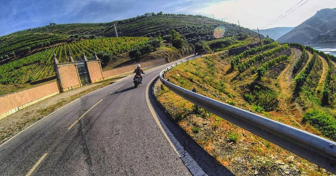
is the best in Europe and is Portuguese European roads for driving pleasure
It is officially named EN304, but for Ford, this road that crosses the Alvão Natural Park is best known as the nirvana of European roads for dr... -

Chefs around the world choose Portuguese Fish as the best in the world
All over the planet, fish caught in Portugal is considered a product of the highest quality. The low salinity and 300 days of sunshine a year... -
The 10 Best Cities to Visit in Portugal
Óbidos: This town is the most perfectly preserved 13th century village in central Portugal. Its historic authenticity is the main concern ... -
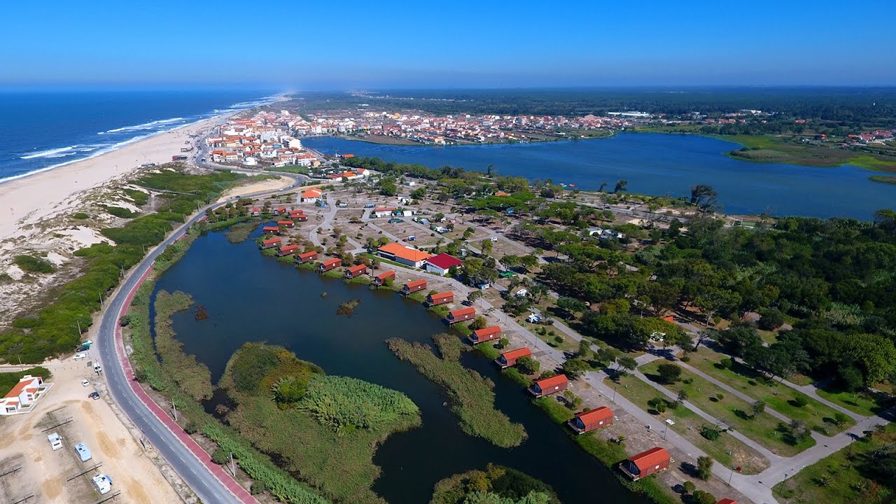
Mira Beach in Portugal the European record holder receives the 33rd Blue Flag
With 33 consecutive years "wearing" in blue, Praia de Mira is Europes record holder of the beaches with the most consecutive years to receive this dis... -
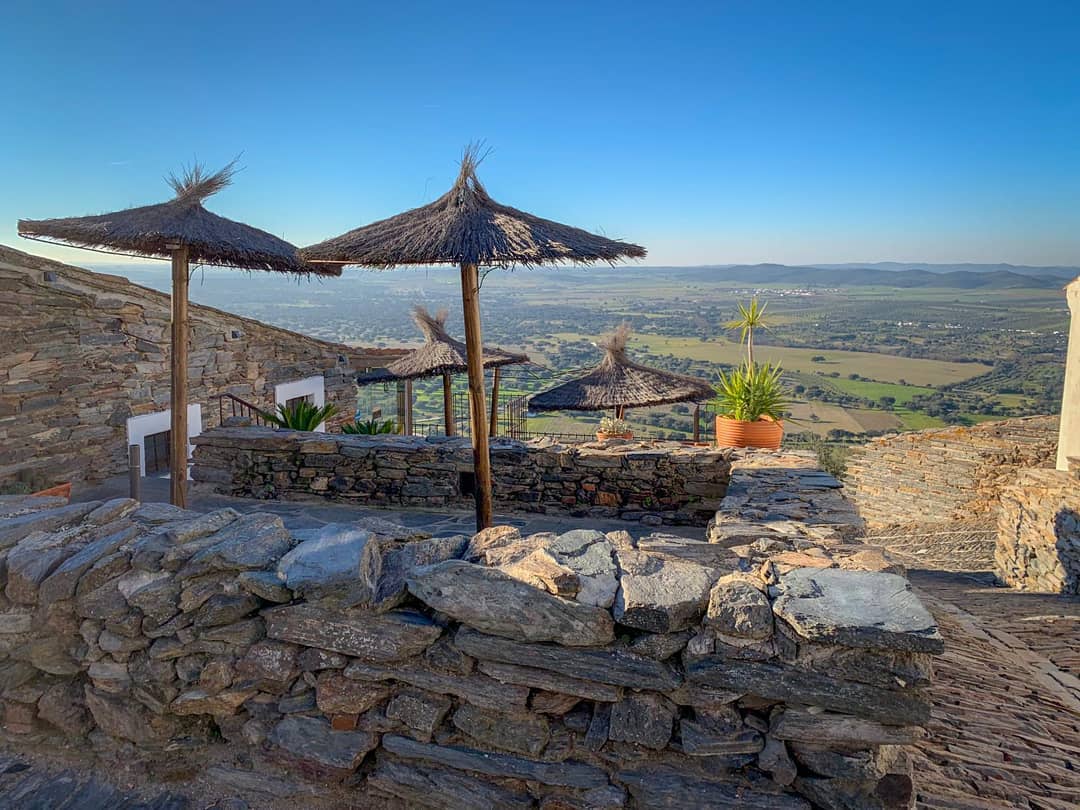
This is one of the must-see spots in rural Europe, according to The Guardian
From March, the Alentejo region of southern Portugal becomes a multicolored image: with yellow clover, wild red poppies, white daisies and purple lili... -
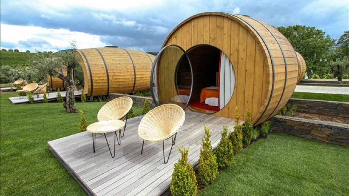
Did you know that in the Douro Portugal you can sleep on giant wine casks?
A real 25 square meter kite with air conditioning and sleeping room overlooking the Douro and where you can see the starry sky when you are lying in b... -

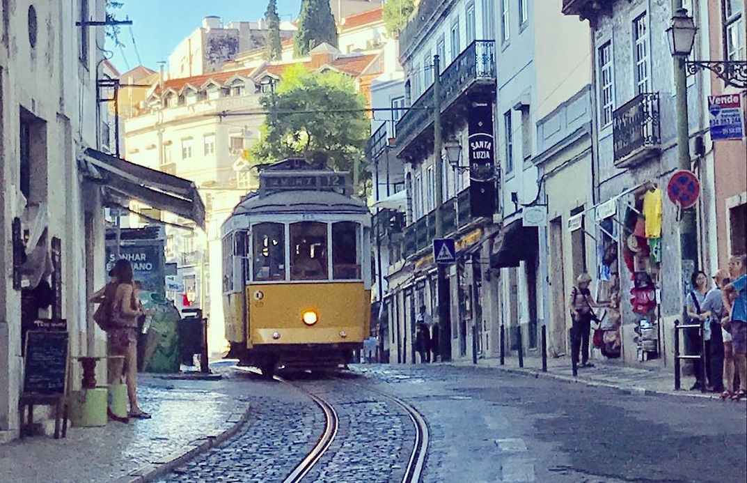
10 Best Restaurants with the Best Views in Lisbon
visit lisbon and fall in love with this amazing portuguese city, everyone who comes here wants to come back, to enjoy your dinners and lunches you hav...